12/26/2020
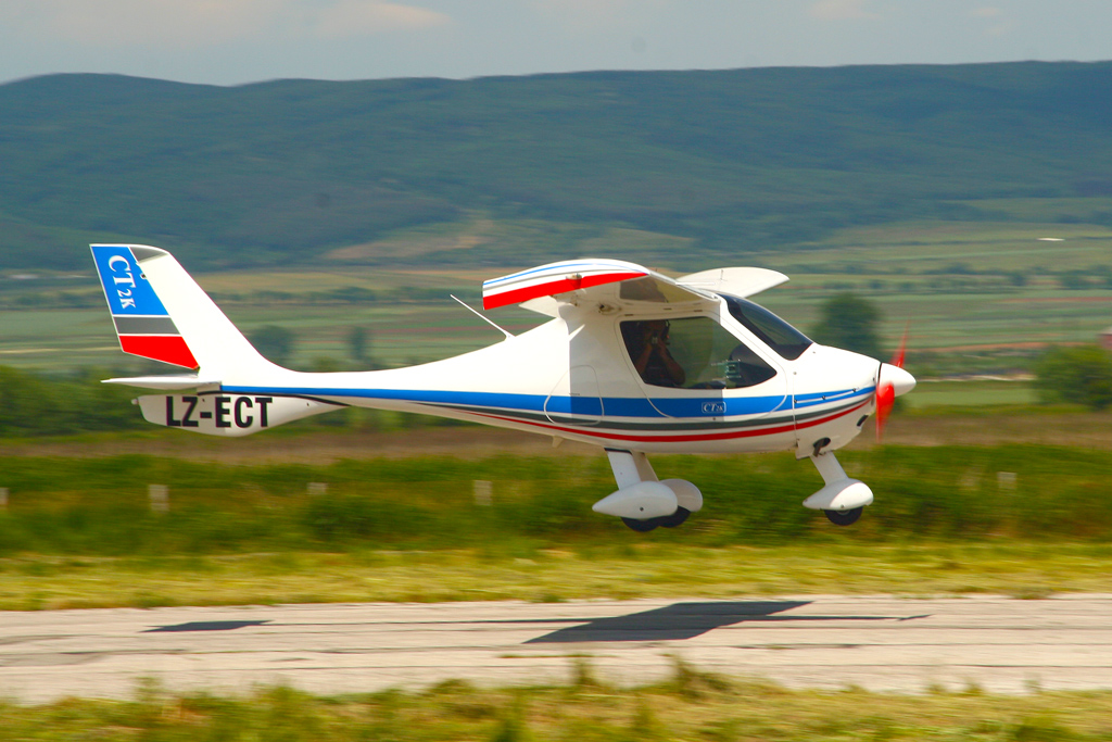
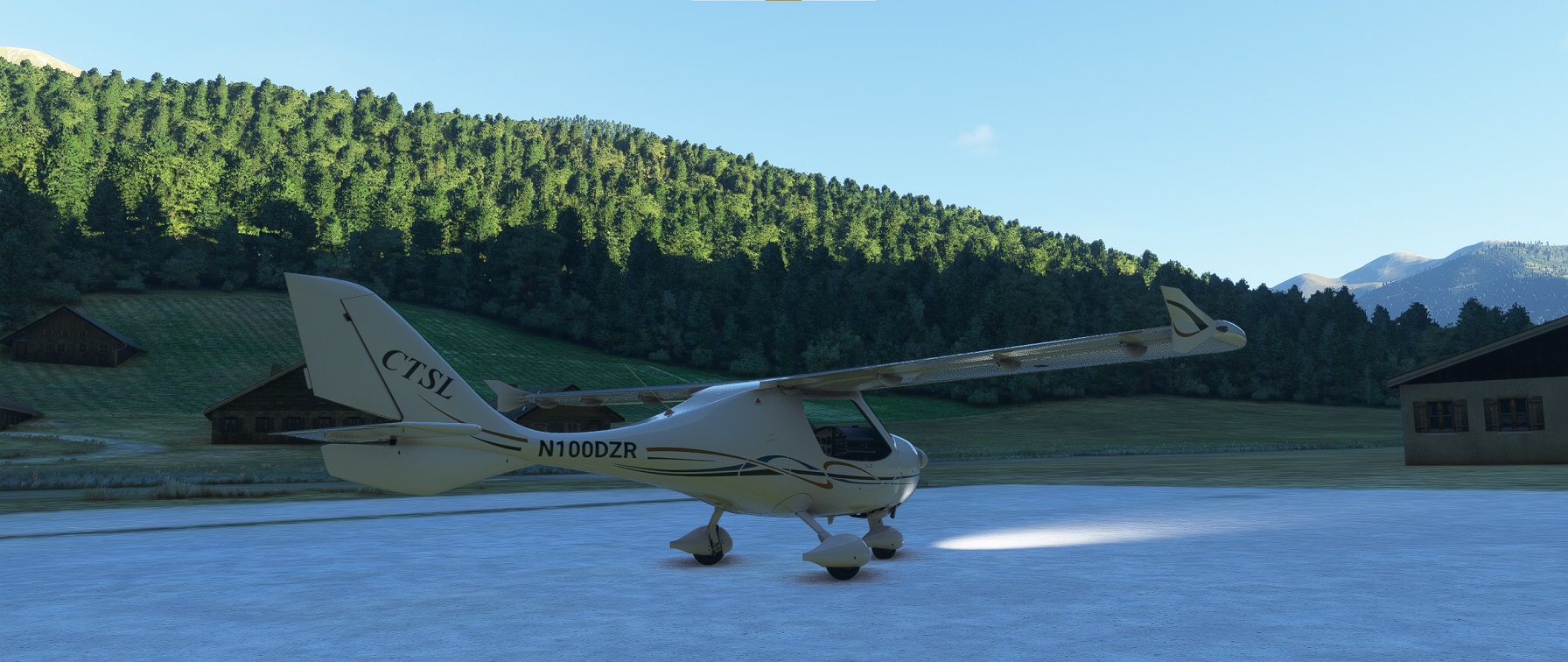
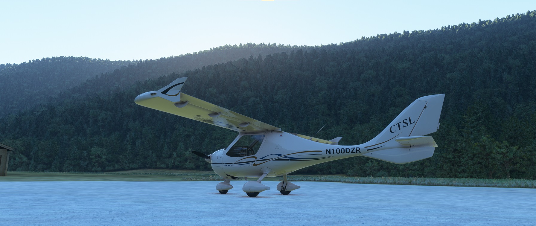
The Flight Design CTLS is a fun and sleek aircraft in the Light Sport category It seats two, side by side.
The good news is yes, it could reach altitude and distance, but the bad news is weight and balance would be exceeded with a passenger, at least according to the Microsoft Flight Simulator planning tool.
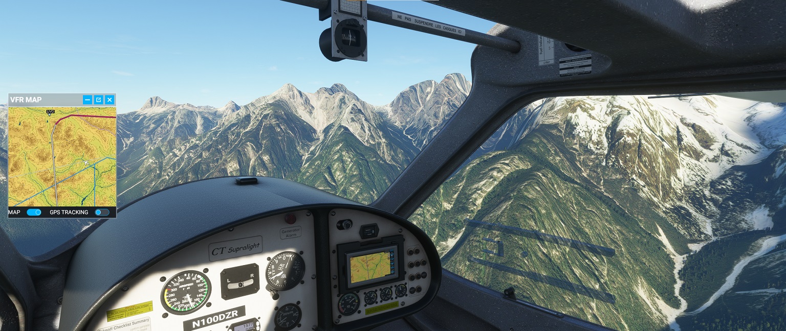
Also, it has a sparse insturment panel, with airspeed, altitude, and a minimal small GPS moving map unit. There are no VOR radios or indicators, and not all the "steam-gauges" I was used to. But I'd still rather fly it - it is so slick that you can feel it slipping through the airstream compared to a Cub or 150 pushing through.
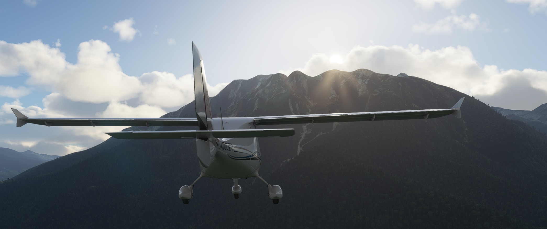
Flying through the valleys at lower altitudes was beautiful, so I deviated somewhat from the straight line flight plan.
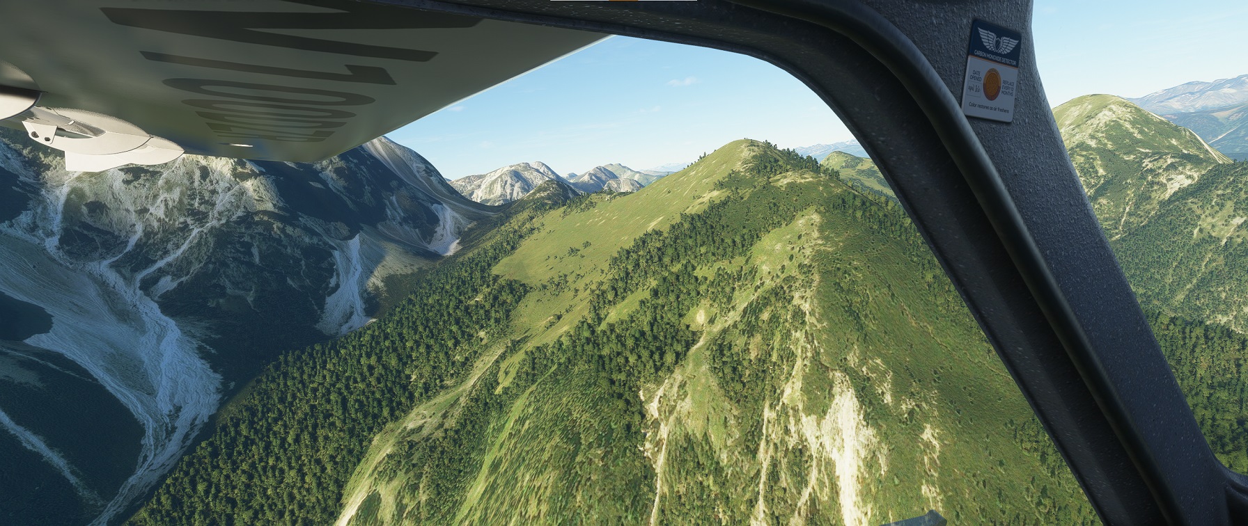
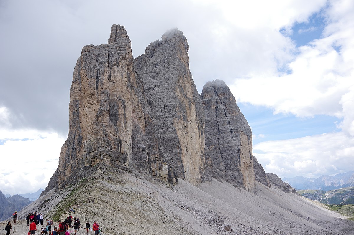
The destination mountains didn't look at all like the photos and Google Earth. The only feature that really confirmed that I had found the correct place was the tourist parking lot - that matched.
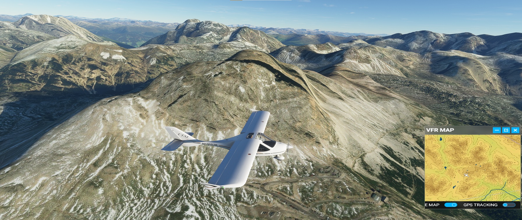
I found out that by setting the "terrain level of detail" to 200% and "terrain vector data" to high, the mountains started to look better, but perhaps at the cost of a steady frame rate (see the movie below).
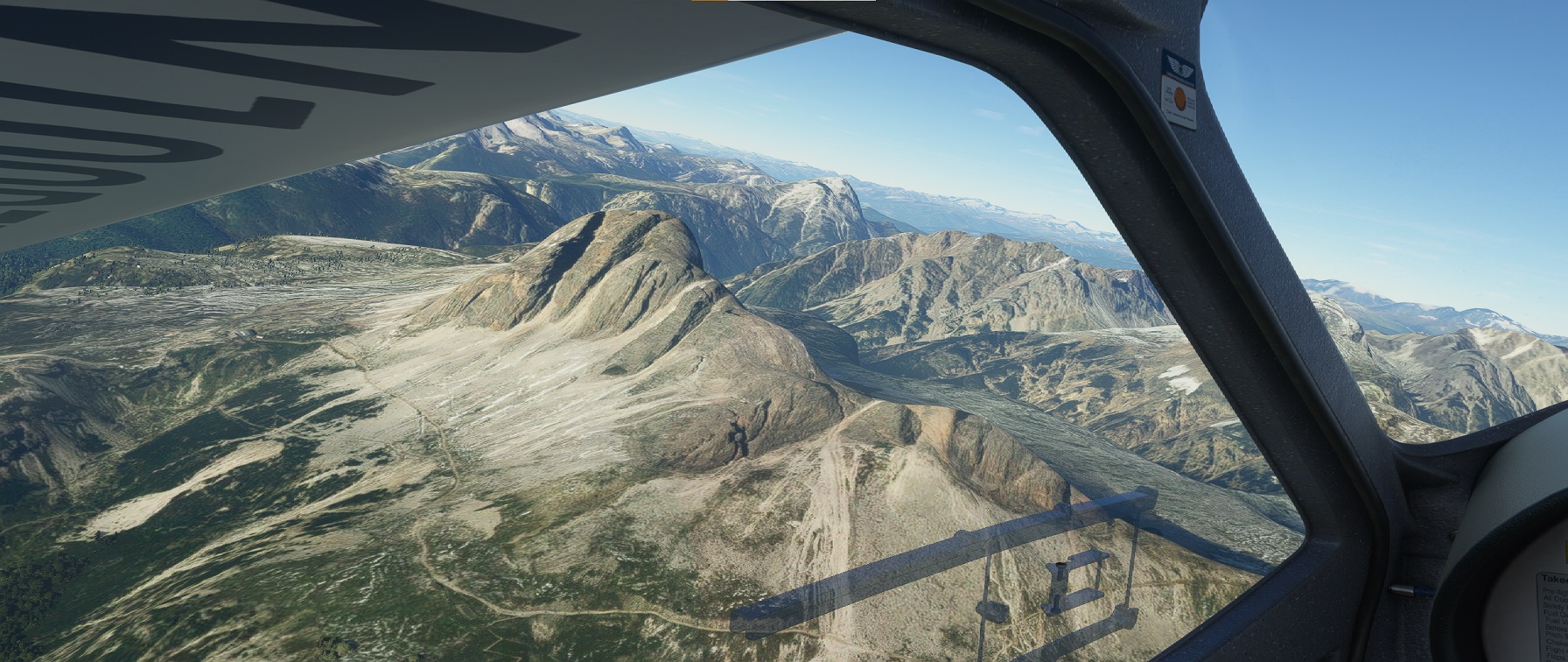
I guess the flight simulator has a hard time with vertical geographical features.
It was still fun to fly around the mountain (and with aircraft damage off we could even land in the parking lot).
The volumetric clouds and sun light interaction is astounding!
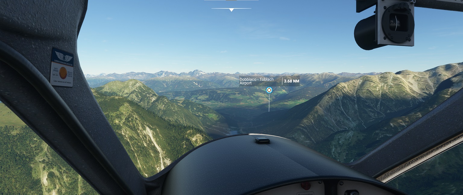
Leaving the area, and continuing north, the Flight Sim showed two airstrips that were not marked on the VFR chart "Dobbiaco - Toblach," and "Valle di Casies". I flew around looking for Valle di Casies, which was behind a hill, and it was a nice little grass field.
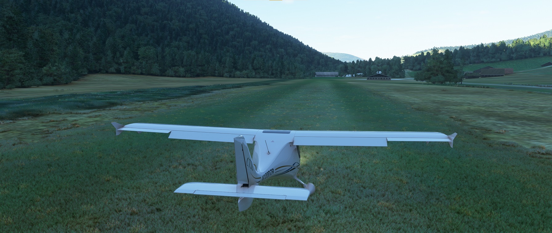
I landed and shutdown the airplane and went to get a virtual non-alcoholic beer and sandwich.
The end.
top back